Self-guided audio tour in Vancouver
Start Free on iPhone
Start free on iPhone to unlock this self-guided walking tour in Vancouver. Hear all the stories that make it amazing, walk at your own pace, and begin whenever you want.
Your Private Tour Guide
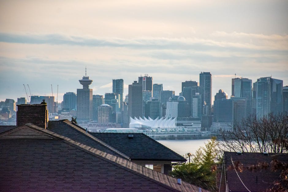
Discover the remarkable transformation of Vancouver’s waterfront on this self-guided walk through False Creek. Once a gritty industrial heartland filled with sawmills and rail yards, this area was reimagined for the world stage during Expo 86 and again for the 2010 Winter Olympics. This walking route invites you to explore how architecture and nature coexist in one of the most successful urban renewal projects in North America. As you follow the Seawall, you will encounter the iconic geodesic dome of Science World, the sustainable marvels of the Olympic Village, and the quirky history of Leg in Boot Square. This neighborhood stroll offers a deep dive into 'Vancouverism'—the city's unique approach to high-density living paired with sprawling public green spaces and accessible waterfronts. You will learn about the visionary thinkers who turned a polluted inlet into a thriving ecosystem where man-made islands now host local wildlife. Whether you are interested in the legacy of world fairs, the engineering behind sustainable architecture, or simply looking for a peaceful path with stunning skyline views, this journey provides a comprehensive look at Vancouver's evolution. The route is entirely flat and follows the paved Seawall, making it an ideal choice for a relaxed afternoon of exploration. From the giant sparrow sculptures of the Olympic Plaza to the hidden urban forests of Charleson Park, this self-guided adventure highlights the innovative spirit that defines the city's modern identity. Experience the future of urban living while walking through the physical history of Vancouver’s industrial past and its bright, green future.
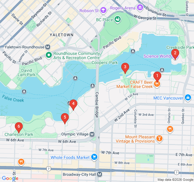
Numbers indicate the order of stops on the tour.
Welcome to the Olympic Village Square, the starting point of your self-guided walk. This area was once a salt-marsh and later a heavy industrial site before being transformed into the athletes' village for the 2010 Winter Olympics. Today, it is recognized as one of the greenest neighborhoods in the world. Look around at the LEED Platinum-certified buildings and the massive 'The Birds' sculptures by artist Myfanwy MacLeod. These five-meter-tall sparrows are a playful nod to the scale of the urban environment and the return of nature to this former wasteland. This square represents the 'Future' part of our theme, showcasing how modern cities can prioritize sustainability without sacrificing style.
Standing before you is perhaps Vancouver's most recognizable landmark. Originally built as the Expo Centre for the 1986 World's Fair, this geodesic dome was designed by architect Bruno Freschi. Its design was inspired by the work of Buckminster Fuller and features 766 triangles that glow beautifully at night. Expo 86 was the turning point for Vancouver, transitioning it from a quiet resource town to a global destination. While it now serves as a science center, the building remains a symbol of the optimism of the 1980s and the city's commitment to education and innovation. Take a moment to appreciate how the dome reflects in the waters of the creek.
This isn't just a park; it's a carefully engineered ecosystem. Known locally as 'Beer Island' by some, its official purpose is much more serious. During the construction of the Olympic Village, this man-made peninsula was created using recycled materials to provide a sanctuary for birds, crabs, and fish. It demonstrates a core tenet of modern Vancouver architecture: ecological restoration. Depending on the tide, you might see the 'urban beach' appearing or disappearing. It is a quiet spot that feels miles away from the city, even though the skyline is just across the water. It’s a perfect example of how urban planning can give back to the natural world.
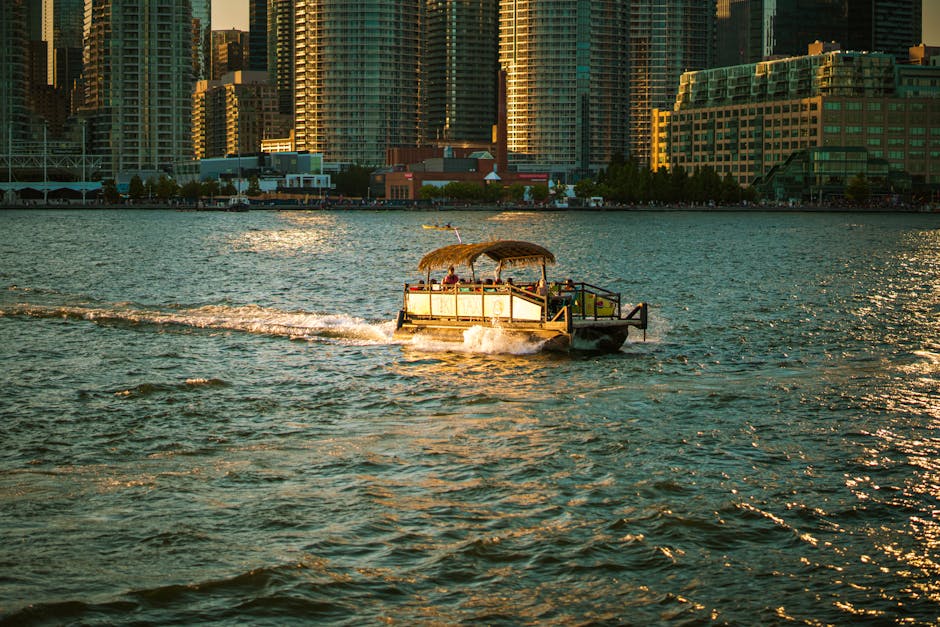
Stamps Landing is named after Edward Stamp, a pioneer who established one of the first sawmills in the area in the 1860s. For nearly a century, this water was clogged with logs and the air was thick with smoke. Today, the only 'industry' here is leisure. This spot serves as a major hub for the False Creek Ferries—those small, colorful 'aquabus' boats you see buzzing across the water. The transition here from industrial wharf to a residential marina community in the 1970s set the blueprint for how the rest of False Creek would eventually look. It's a great place to watch the water traffic and see the city's transit system in action.
This square has arguably the strangest name in Vancouver. In 1887, a severed leg still encased in a leather boot was found on the shore nearby. The mystery of the leg was never fully solved, but the name stuck. Beyond the macabre history, the square is an architectural time capsule of the late 1970s. This was part of a social experiment to create mixed-income housing with a European plaza feel. Notice the brickwork and the way the buildings wrap around the public space. It was a radical departure from the high-rise towers seen elsewhere, focusing instead on human-scale design and community interaction.
Your walking route concludes here at Charleson Park. This sprawling green space offers one of the best panoramic views of the Vancouver skyline and the North Shore mountains. The park features a waterfall, a duck pond, and plenty of hidden pathways. It represents the final stage of False Creek’s evolution: the creation of 'urban lungs.' As you look across the water toward the glass towers of Yaletown, you are seeing the direct result of the Expo 86 legacy. The park is a favorite for locals and their dogs, offering a peaceful end to your exploration of how Vancouver successfully married its industrial past with a nature-focused future.
Start Free on iPhone
Explore “Expo 86 and the Future of False Creek” with your very own Private Tour Guide with Zigway. Start free on iPhone, skip the large group and the fixed routes, and hear the city come alive as you go.
Your Private Tour Guide
Don't miss the good stuff
Explore Freely
 Moderate
Vancouver, Canada
Discover the cinematic secrets of Hollywood North on this self-guided walk through Downtown Vancouver’s most famous filming locations.
 Easy
EasyVancouver, Canada
Explore Vancouver's oldest neighborhood, from Victorian homes to the historic heart of the city's multicultural pioneer communities.
 Easy
EasyVancouver, Canada
Discover how historic rail warehouses became Vancouver’s trendiest district on this self-guided stroll through Yaletown’s chic streets and parks.
 Moderate
Vancouver, Canada
Explore Vancouver's creative hub! Discover vibrant murals, craft breweries, and historic landmarks on this self-guided stroll through Mount Pleasant.
 Easy
EasyGdansk, Poland
Discover the 'Baltic Gold' on this self-guided walk through Gdansk's historic mills, massive cathedrals, and the magical Mariacka Street.
 Easy
EasyGdansk, Poland
Discover the opulent Royal Way of Gdansk at your own pace. Explore Hanseatic history, gilded architecture, and the iconic Neptune's Fountain.
 Easy
EasyGdansk, Poland
Discover the monastic heritage, world-famous organs, and lush botanical gardens of Oliwa on this peaceful self-guided neighborhood stroll.
 Easy
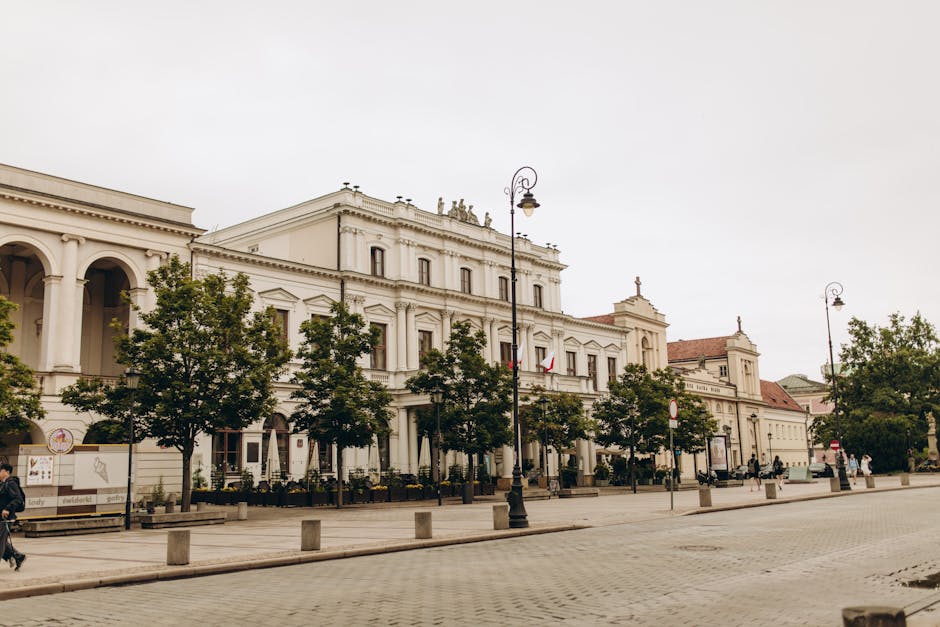
EasyWarsaw, Poland
Explore Warsaw's scenic riverfront, rooftop gardens, and industrial-chic architecture on this self-guided stroll through the Powiśle district.
 Challenging
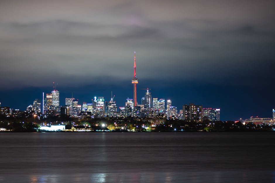
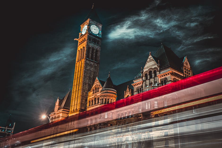
Toronto, Canada
Explore Toronto's crown jewel with this self-guided walk through High Park’s hidden gardens, historic lodges, and scenic waterfront trails.
 Easy
EasyToronto, Canada
Explore Toronto's iconic skyline on this self-guided walk through the Financial District's historic stone halls and golden glass towers.
 Easy
EasyToronto, Canada
Explore North America's largest collection of Victorian homes and peaceful green spaces on this self-guided stroll through Toronto's Cabbagetown.
 Easy
EasyToronto, Canada
Explore Yorkville’s transformation from 1960s hippie haven to Toronto’s premier luxury district on this self-guided audio walk.
